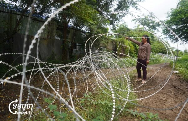

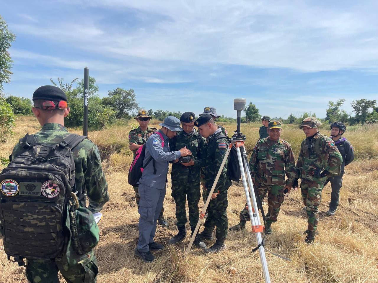
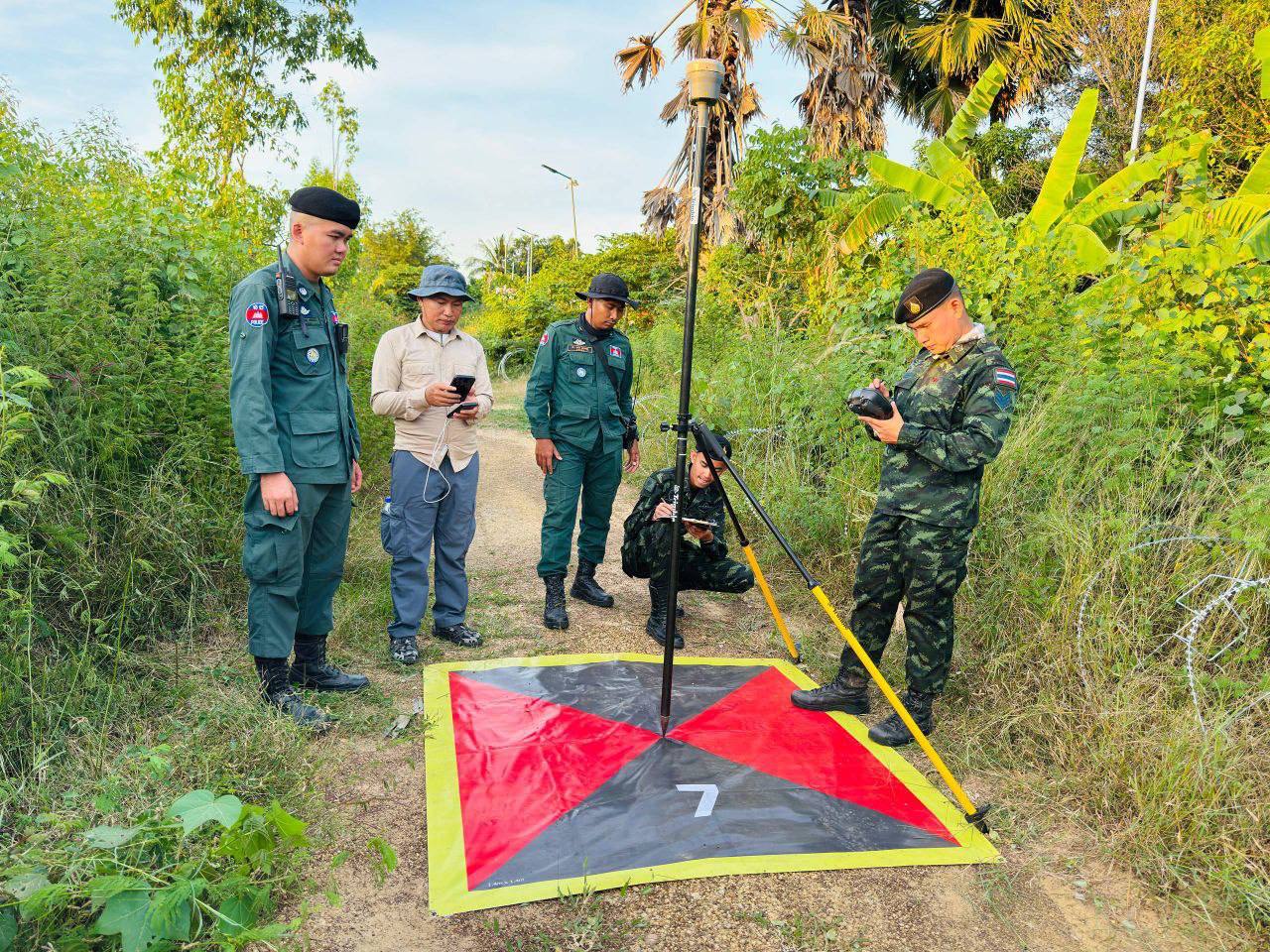
Cambodia and Thailand would start installing temporary border posts to demarcate the disputed zones on November 27 after a joint survey of the area measuring 5.3 kilometers was conducted with aerial images produced using drones.
However, an analyst has warned that past controversies show a key oversight lesson, secrecy and the creation of unilateral “facts on the ground” which could turn a technical demarcation process into a national crisis.
The joint survey team captured aerial images between border posts, covering 76 percent of the required area from border posts 42 to 47 since Nov 19, following the Special Meeting of Cambodia-Thailand Joint Commission on Demarcation for Land Boundary (JBC) in October.
Aerial drone photography produced photographic maps to assist the installation of temporary border makers along the posts which are located in the disputed villages of Prey Chan and Chouk Chey in Banteay Meanchey province. Thailand claims these areas as part of its Ban Nong Ya Kaew and village in Sa Kaeo province, according to state media AKP last night.
Separately, the joint survey team has installed 158 of 166 temporary markers between marker posts 52 and 59 in Kamrieng district, Battambang province, which is about 95% complete. The operation ran from November 8 to 24. Both sides expect to finish the remaining work by November 25 and will continue aerial drone photography along this section of the border beginning November 27.
Temporary border demarcation, which has raised concerns over territorial issues, is “not an entirely new task”, Prime Minister Hun Manet said on Tuesday.
He explained that the installation of border posts is a technical process where both countries have been working together for nearly 20 years, noting that the temporary markers are in line with the 2000 Memorandum of Understanding, the 2003 Terms of Reference (TOR), and the spirit of the recent General Border Committee meeting.
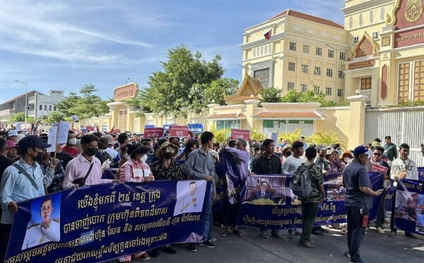
“I have seen a lot of discussion on social media about [Cambodia] losing or gaining land after the temporary border demarcation survey,” read his post.
“I would like to clarify that the purpose of the temporary boundary demarcation is not [about] gaining or losing land, but to set a clear and accurate boundary between Cambodia and Thailand based on the legal documents left by the French Protectorate and international law,” Hun Manet said.
Cambodian geopolitical analyst Seng Vanly said that while temporary markers are meant to be provisional, there remains a de facto risk if either side begins treating the temporary line as “final” in daily practice by policing, restricting farming, or shifting local administration. Such actions, he warned, can gradually harden into an “on-the-ground” reality, even if the documents clearly state that the markers are only temporary.
“The markers will likely shape the final treaty by giving both sides a shared technical baseline from drone and aerial mapping, which reduces ambiguity. But they also create an anchoring effect, because once villagers live with a staked line, the political space to adjust it later becomes narrower,” he said.
Vanly remarked that to reassure Cambodians that no land is being lost, the government could publish summaries of the technical instructions and surveying methods used for Posts 42 to 47 and 52 to 59.
They should also publicly commit that no civilian administration or land-title authority would change while the markers remain temporary, and set a clear review timetable linked to the next JBC approval stage—all consistent with the “without prejudice” clause, he added.